This tool shows where your home was when dinosaurs roamed Earth over 230 million years ago |

NASA’s viral interactive tool that spells out user names using real satellite images of Earth’s landscapes has already left the internet captivated. But have you ever wondered where your home or backyard was on Pangea over 300 million years ago? A new online resource is helping individuals understand the history of Earth in an easy manner. In a study published in the journal PLOS One, experts have recently enhanced Paleolatitude.org, a tool which shows how any spot on Earth appeared at various times in the last 230 million years. This application relies on the Utrecht Paleogeography Model that provides individuals with the opportunity to learn about the drift of continents from the earliest ages to now. Using the platform, individuals may determine how the latitude of a specific place evolved throughout time by entering a location.Such modifications enhance previous versions by adding details and improving ease of use. The study that developed such a resource has been.Latitude is a critical factor in Earth sciencesIt affects the climate, ecological systems, and biodiversity of regions. An area close to the equator will differ drastically from one close to the poles.With such a resource, scientists may examine Earth’s environment in ancient times and better understand how it impacted organisms. As a result, fossils may be analysed not only by their age but also by their location on Earth.Emilia Jarochowska, a palaeontologist at Utrecht University, explained that this new method gives them much more confidence in exploring various factors in their research. She highlighted how their knowledge of biodiversity began to evolve from one-dimensional to three-dimensional, including spatial dimensions, due to this latest technology.In this way, specialists may better link their research on climate, geography, and the evolution of life forms.A real-world example from EuropeThis tool has already allowed solving a long-lasting mystery in science. Fossil evidence discovered near Winterswijk in the Netherlands is estimated to be around 245 million years old.This evidence indicates a warm and dry climate comparable to the Persian Gulf nowadays. However, it no longer fits into the region of Northern Europe.Using the new model, scientists have proven that the then location was much closer to the equator. The latitude of this place corresponds to regions such as modern-day Arabia, which explains the climatic evidence. This example illustrates how continental drift affected scientists’ conclusions.

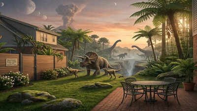
Explore Earth’s deep past from Pangaea to today. Image credit – Gemini
How Paleolatitude.org worksThe improved platform integrates geological information with paleomagnetic information. The latter refers to the changes in the magnetic field of the Earth.In addition, the software takes into account the motion of the continents themselves as well as the magnetic poles, making the results more precise than those provided by previous tools.It also enables users to export graphs, analyse datasets, and upload data for bulk calculations. Although the latter feature is primarily for scientists, anyone can use the tool through its user-friendly interface.Mapping past biodiversity hotspotsAnother major application of the tool is in understanding historical biodiversity patterns. In their PLOS One paper, the researchers studied around 34,000 fossilised marine species that date back to the Late Jurassic epoch.Based on the latitude calculations for these fossils, scientists were able to create a map highlighting the geographic regions where biodiversity flourished. They also employed advanced techniques like bootstrapping to quantify any uncertainties in the data.Jarochowska further emphasised that now they can make a much better picture of what biodiversity looked like at that time, understand what happened to global biodiversity after mass extinctions, and identify which regions were uninhabitable and which functioned as biodiversity hotspots.Implications of historical mapping for the modern worldThe knowledge we have gained about climate change and biological diversity in the past will help us better understand today’s environmental issues. Studying past responses of species to warming or cooling will allow us to predict future trends.The model can also help identify which areas have served as refuges from environmental changes in the past. These findings may assist conservation efforts in the present day.Scientists are further developing their model to trace the history back to the time of the Cambrian explosion, about 550 million years ago.A small tool with a big pictureAs far as Paleolatitude.org currently goes, it provides a new perspective on relating our current location to the long geological history of our planet. Any place, be it a backyard, city, or natural monument, can be tracked through millions of years of plate tectonics.It simplifies a complicated scientific process by making it interactive. But it also reminds us that the land we stand on was once somewhere else.